
 |
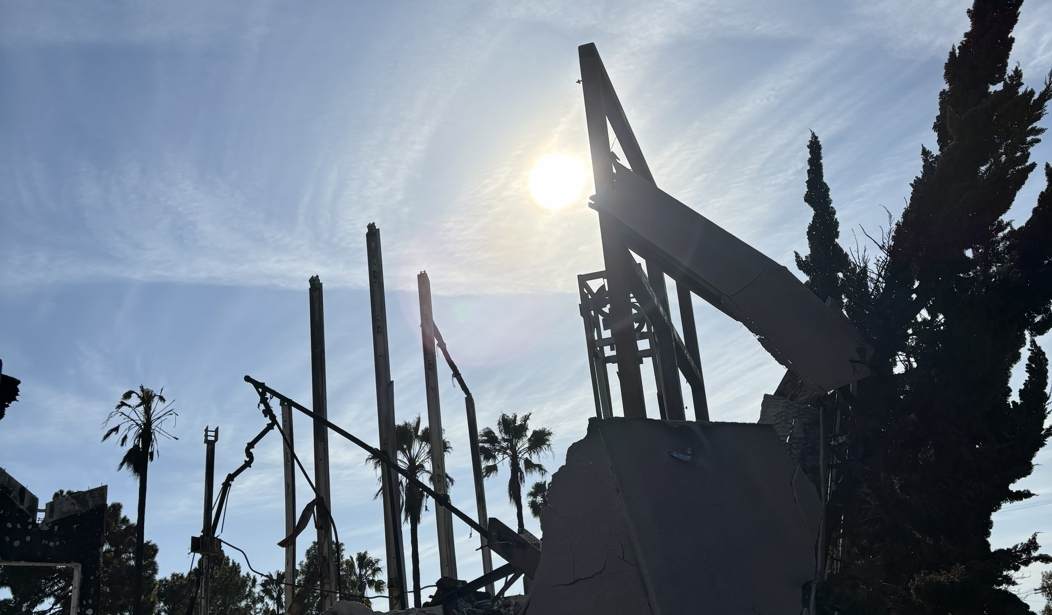
Angelenos have been noticing something strange: the Google Maps satellite imagery depicting the Los Angeles areas of the Pacific Palisades and Altadena now shows pristine neighborhoods untouched by the devastating fires of January 2025. Of course, as we all know, those neighborhoods are in ruins. Why would Google pretend otherwise? On Reddit, user TinyPinkSparkles asked, “Why is Google maps back to showing old satellite images of Altadena?" She continued:
Meanwhile, someone going by the tag Lisa S. asked Google Maps Help how to get the tech giant to respond, because the gaslighting is actually affecting people:
Now, there are a lot of internet rumors and conspiracy theories out there. Is this just another example of kooky folks putting on their tin-foil hats? I decided to take a look for myself, and yep, what they’re saying appears to be correct. RedState Managing Editor Jennifer Van Laar took note as well: Hmm, not a destroyed house or burn scar in sight. At the bottom of the map that I viewed, it says in very small letters: “Imagery ©2026 Airbus, Maxar Technologies, Vexcel Imaging US, Inc., Data CSUMB SFML, OA CPC, Map data ©2026 Google.” Well, the copyrights may be from 2026, but the satellite images certainly don’t appear to show the reality that is the Palisades at any point in the current year. MORE: A RedState Photo Odyssey: The Devastation of the Pacific Palisades Is America's Wake-Up Call Hot Takes: The Democrats' Latest Attack on Spencer Pratt Reeks of Big Time Desperation Now, let’s not get too hasty with our conclusions here. There’s nothing really big going on in California these days, is there? Oh wait. Voters have been weighing in on both the mayoral and gubernatorial races since May 4 in the crucial month-long primary, which mercifully ends on June 2. Oh. Even though one of Google's co-founders, billionaire Sergey Brin, has shown signs in recent months of moving away from the Left, his company has been no friend to conservatives over the years and has routinely been called out for censoring Republicans and algorithmically burying their voices. Whether any of this came into play in Google’s apparent map change is unclear, but it’s certainly noteworthy. But hey, let’s give them the benefit of the doubt — maybe they just never updated their maps after the fire? Wait, never mind — they most certainly did. Here’s what Realtor.com reported in February 2025:
So why the change? Google has not responded to users' demands for answers. I won’t use any fire references here out of respect for the victims, so let’s just say, when something smells, there’s often something rotten afoot. |


No comments:
Post a Comment